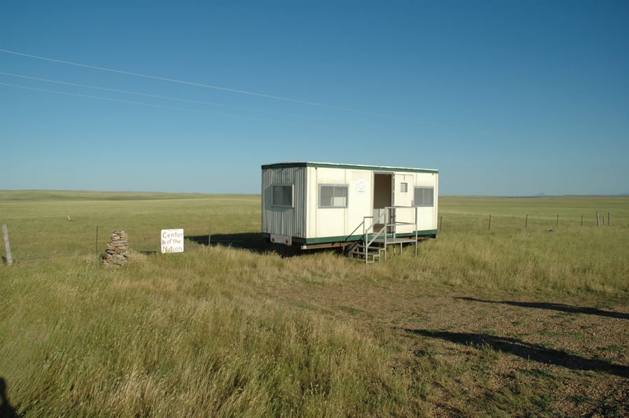
Center for Land Use Interpretation and the Institute for Marking and Measuring, Centers of the USA, 2013, field west of Twin Tops Mountain, South Dakota (photograph by CLUI published under a Creative Commons A-NC-SA license, creativecommons.org/licenses/by-nc-sa/3.0/us/legalcode)
The site is calculated to be the present geographic center of the United States. Other centers marked in the project include a spot in Kansas that is the center of the forty-eight contiguous states, the town of Plato, Missouri, that is the population center of the United States, a lake in North Dakota that is calculated to be the geographic center of North America, and a field in Wisconsin that lies at the intersection of 45° North and 90° West and is thus the center of the northwest quadrant of the globe. http://clui.org/page/center-continguous-united-states